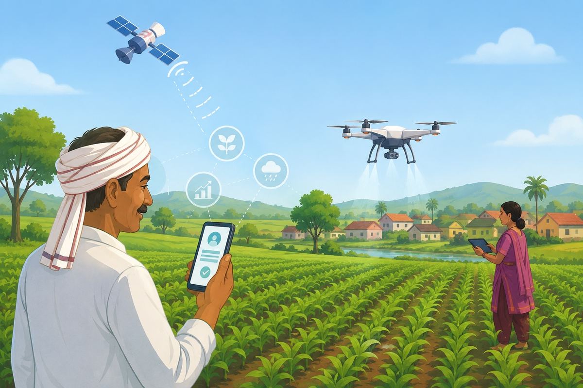
For a farmer in a remote village, a failed crop can mean a season of debt and uncertainty. Getting help after a flood, drought or pest attack has often involved paperwork, repeated visits to government offices and long waits.
But technology is beginning to change that experience. Across rural India, digital farmer IDs, satellite images and agricultural drones are becoming new tools to connect farmers with government support and improve farming decisions. The shift is significant because millions of farmers depend on timely support. A delay in receiving a subsidy, crop insurance payment or disaster relief can affect a family’s income and ability to prepare for the next farming season.
According to India’s Ministry of Agriculture and Farmers Welfare, over 100 million farmer IDs were created across the South Asian nation. These digital identities bring together important information about farmers on a single platform. The aim is to make it easier for farmers to access government schemes and for authorities to deliver benefits more efficiently.
“As of 20th July, 2026, more than 10.18 crore (101.8 million) farmer IDs have been created to streamline the direct transfer of subsidies and technical advisories…States are using farmer IDs to ease the lives of farmers,” the minister of state for agriculture and farmers welfare, Ramnath Thakur, informed in a written reply in the Rajya Sabha, the upper house of India’s bicameral Parliament.
The farmer ID system is being linked with several key agricultural programmes. These include the Pradhan Mantri Kisan Samman Nidhi (PM-KISAN), which provides income support to farmers, and the Pradhan Mantri Fasal Bima Yojana (PMFBY), which provides crop insurance. It is also connected with minimum support price (MSP) procurement, farm credit, distribution of agricultural inputs such as seeds and fertilizers, and assistance during natural disasters.
For farmers, the benefit is simple: fewer forms, fewer delays and easier access to services that are meant to support their livelihoods.
Satellites bring a new way to measure crop losses
Technology is also changing how crop insurance works. Traditionally, assessing crop damage required field visits and manual inspections. This process could take time, especially when large areas were affected by floods, droughts or extreme weather.
Now, satellite images are being used under PMFBY to monitor crop conditions and estimate yields. The data helps officials get a clearer picture of what is happening on the ground.
Satellite technology is also being used to improve crop-cutting experiments, which are important for calculating crop yields. Instead of choosing fields randomly, officials can use satellite-based information to identify areas where crop health is different. This can make assessments more accurate.
The technology can also help resolve disputes. When farmers, state governments and insurance companies disagree over crop damage or losses, satellite images can provide additional evidence. This can speed up claim settlements and reduce uncertainty for farmers waiting for compensation.
During floods, droughts and other climate-related events, satellite images can help identify affected areas faster. This allows authorities to plan relief measures more quickly.
“In the event of localized natural calamities like floods, droughts, or severe weather anomalies, multi-temporal satellite imagery enables rapid mapping of the affected area. Through the automated workflows of the Krishi Decision Support System (DSS), the turnaround time for assessment of food inundation and drought monitoring has significantly reduced,” Thakur informed in his written reply.
Drones take flight in rural India
Along with satellites, drones are emerging as another tool for farmers. These flying machines can help spray pesticides and fertilizers, monitor crops and reduce the time needed for farm operations.
For small farmers, this technology can be especially useful because hiring farm labour during busy seasons can be difficult and expensive.
The government is promoting the use of Kisan Drones through the Sub-Mission on Agricultural Mechanization. Farmers can receive financial assistance to buy drones. Small and marginal farmers in India’s northeastern states can get support of up to 50% of the cost, while other farmers can receive assistance of up to 40%.
Support is also available for setting up drone hiring centres. This allows farmers who cannot afford to buy their own drones to use the technology by renting services. So far, 2,122 agricultural drones have been distributed or approved under the programme, according to the Ministry.
Women’s groups become drone operators
The drone push is also creating new opportunities for rural women. Under the Namo Drone Didi Scheme, members of selected women self-help groups are being trained to operate drones and provide services to farmers in their villages.
The programme includes 15 days of training and a drone pilot licence. The training is conducted through 274 approved drone training centres across India. So far, 1,094 drones have been provided to selected women self-help groups.
For these women, drones are not just farming equipment. They are becoming a source of livelihood. By offering services such as crop spraying and field monitoring, they can earn additional income while helping other farmers adopt new technology.
From a farmer receiving a benefit through a digital ID to a village woman operating a drone above a field, technology is slowly changing rural India. The transformation is still in its early stages, but it shows how digital tools are moving beyond cities and becoming part of everyday life in the countryside.