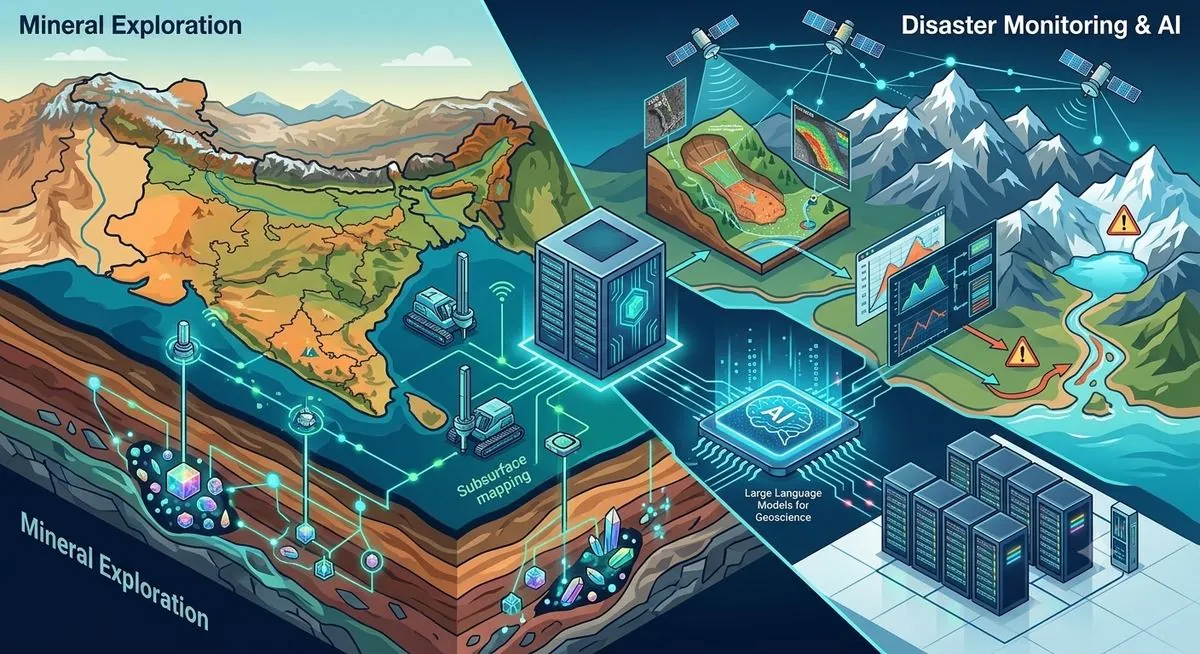
India is set to use artificial intelligence (AI) and high-performance computing (HPC) to improve mineral exploration and strengthen disaster monitoring. The Centre for Development of Advanced Computing (C-DAC) and the Geological Survey of India (GSI) have signed an umbrella Memorandum of Understanding (MoU) to apply advanced technologies to geoscience research, resource mapping and disaster management.
The partnership will combine C-DAC’s computing capabilities with GSI’s geological expertise to analyse complex datasets, improve understanding of underground structures and develop tools for mineral targeting and disaster preparedness.
Under the agreement, the two organisations will explore the use of AI and HPC to process large volumes of geophysical data, create high-resolution three-dimensional maps of subsurface structures and develop predictive models to identify potential mineral resources. The collaboration will also use AI to analyse decades of geological records and build a specialised Large Language Model (LLM) for geoscience applications.
The collaboration aims to accelerate the discovery of critical minerals and rare earth elements while strengthening India’s capabilities in resource management and disaster risk reduction.
The initiative comes at a time when countries are racing to secure critical minerals that are essential for modern technologies, while climate-related risks are increasing the need for better disaster monitoring systems. For India, improving the ability to identify mineral resources and use advanced tools for hazard prediction could support supply chain resilience, resource security and better preparedness for natural disasters.
“The collaboration aims to combine C-DAC’s High-Performance Computing (HPC) capabilities with GSI’s geological expertise to address complex sub-surface exploration challenges through advanced digital technologies,” the Ministry said in a statement.
“The partnership envisages the use of artificial intelligence and HPC for processing large geophysical datasets, enabling high-resolution 3D subsurface mapping, predictive modelling for mineral targeting and cognitive processing of decades of unstructured geological records into a domain Large Language Model,” it added.
For India, improving domestic exploration capabilities is part of efforts to enhance resource security and reduce vulnerabilities linked to external supply chains. By combining advanced computing with geological data, the C-DAC-GSI partnership is expected to accelerate the discovery of critical minerals and rare earth elements, contributing to India’s economic security, supply chain resilience and technological self-reliance.
AI for disaster risk reduction
Beyond mineral exploration, the Ministry said the collaboration will focus on applying digital technologies to disaster management, particularly for monitoring landslides and studying glacier-related hazards.
The partnership will support slope-scale landslide monitoring using Synthetic Aperture Radar (SAR), a satellite-based technology that can detect changes in land surfaces. It will also support the development of early warning systems and studies related to Glacier Lake Outburst Floods (GLOFs), which occur when water stored in glacial lakes is suddenly released and can cause severe flooding downstream.
The use of AI-based monitoring tools is becoming increasingly important as climate-related risks create greater challenges for disaster preparedness and response.
Building digital geoscience capabilities
Geological research generates large and complex datasets from field studies, remote sensing, geophysical surveys and historical records. Analysing such information at scale can help scientists identify patterns, improve resource assessments and support faster decision-making.
The C-DAC-GSI partnership is expected to strengthen India’s ability to process and interpret geological data using advanced computing technologies, supporting applications in resource management and disaster preparedness.
C-DAC, a research and development organisation under MeitY, works on advanced computing and digital technologies. GSI is responsible for geological mapping, mineral exploration and earth science research in India.
The collaboration reflects a broader push to apply artificial intelligence and advanced computing to challenges in natural resource management, climate adaptation and infrastructure planning.